
The bursts of heavy rains in the last days of June have reduced the overall rainfall deficit for the country from -51 per cent 10 days ago to -19 per cent from its long-period average (LPA).
But what this data fails to show is the staggering rainfall deficit that still persists in the eastern region consisting of states like Bihar, Jharkhand and Gangetic West Bengal where farmers are gearing up to sow their Kharif crops.
47% OF AREA RAIN-DEPRIVED
Of the total 36 sub-divisions across the country, as many as 20 are still reeling under deficient rains. This sub-divisional area makes up for about 47 per cent of India’s land comprising Bihar, Madhya Maharashtra, Marathwada, Gangetic West Bengal, Jharkhand, East Uttar Pradesh, Vidarbha, Telangana, Rayalseema and Chhattisgarh.
The rainfall deficit in crucial rice-growing states like Bihar has widened to -78 per cent, while it is over -50 per cent for East Uttar Pradesh, Jharkhand and West Bengal. While this is just June, the situation does spark concerns, considering all these four states had ended up with a subpar monsoon last year.
A good monsoon is extremely crucial for the Indo-Gangetic plains, which are hugely dependent on the seasonal rains to irrigate their Kharif crops. The four-month season is responsible for providing 70 per cent of the annual rains to the country whose GDP is powered by agriculture.
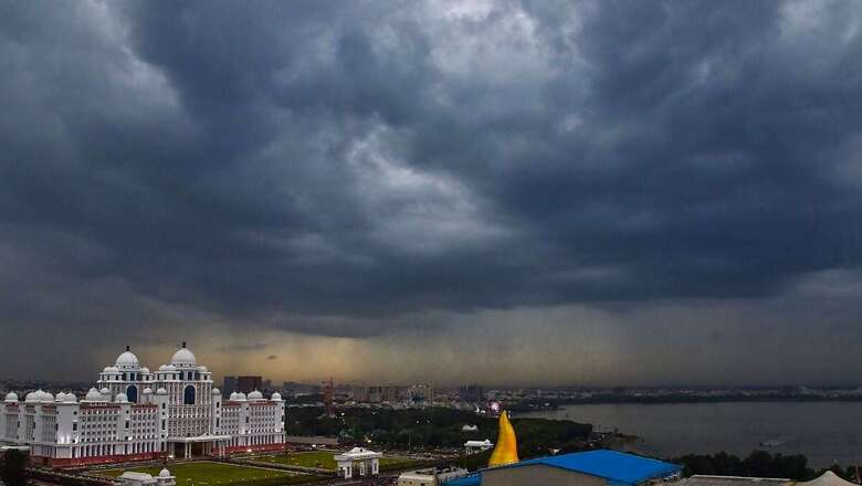
DESTRUCTIVE DOWNPOUR, ‘UNUSUAL’ MONSOON PATTERNS
While one part of the country awaits rainfall, the other faces monsoon fury. The sudden fillip to the monsoon has triggered deluge in Assam, flash floods and landslides in Himachal Pradesh and excess rains in North-west India. Heavy rainfall alert has also been sounded for Maharashtra, Gujarat and Rajasthan over the next few days.
This is just what the climate scientists have been warning all along. The number of days with heavy rainfall are increasing, while days with less to moderate rains are on decline. This means there will be longer dry periods interspersed with short spells of heavy downpour.
Persistent warming of the atmosphere and ocean is intensifying extreme weather events. One such study by Indian Institute of Tropical Meteorology (IITM), Pune, shows that there has been a three-fold increase in extreme rainfall events during 1950-2015.
The warming is changing weather patterns. The monsoon, which usually makes its onset over Mumbai on June 11, arrived in the coastal city almost two weeks later. It made quite a historic onset bringing rains over Delhi and Mumbai on the same-day — a coincidence that last occurred in 1961.
Scientists tracking the monsoon patterns attributed it to an ‘’unusual” tilt in the monsoon trough and Cyclone Biparjoy. The very severe storm intensified in the Arabian Sea for nearly nine days, and absorbed moisture from the monsoon just when it was bracing to impact Kerala and ended up weakening its progress along the west coast.


Comments
0 comment